
Culture
The Soil set for Mbabane’s New Year’s Day picnic

Zulu D quoted E100 for admission, and organisers are inviting families to bring picnic blankets.
The national exercise maps fertility, erosion and land suitability, while classification work continues for Mhlume and Big Bend.
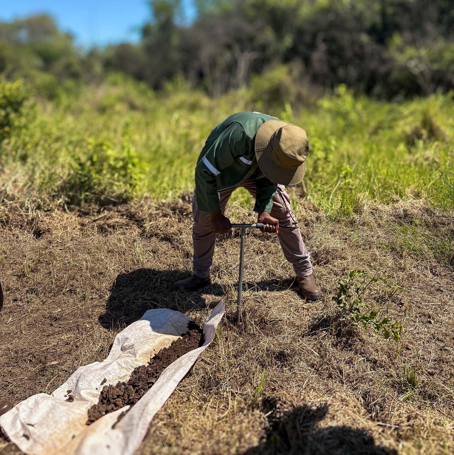
Eswatini has completed fieldwork for a national soil survey designed to improve agricultural and land-use planning, the Times of Eswatini reported on 18 November. The report did not give the exact date when field collection ended.
Teams used a modified Land Degradation Surveillance Framework at 10 sites covering the country’s main agro-ecological zones and collected 739 samples. The work recorded soil health, vegetation, erosion, slopes and land tenure. National laboratory results were also compared with an ISO-accredited reference laboratory, according to the report.
Classification and interpretation are still being finalised for Mhlume and Big Bend. The resulting information is intended to support updated agro-ecological zoning and a future national soil information system; the source did not say when either output will become publicly available.
Media: Times of Eswatini
Prepared with AI assistance; sources linked below.
Published 18 Nov 2026
Suggest a correctionZulu D quoted E100 for admission, and organisers are inviting families to bring picnic blankets.

The two technical-cooperation projects cover graduate training and anticipatory action for the 2026/27 dry spell.

The Eswatini traditional musician says the track pairs a self-worth message with elements inspired by Swazi cultural identity.